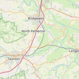
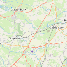
Flood Warning: River Yeo and River Parrett Moors around Muchelney and Thorney
Message Last Updated:
2025-02-12 09:21:00
Severity Last Changed:
2025-01-24 20:31:00
The River Yeo level at Huish Episcopi pumping station is 7.20m and falling. The drain level at Huish Episcopi pumping station is 7.71m and falling slowly.
Flooding will affect the road from Langport to Muchelney if this drain level exceeds 7.3m, the road from Muchelney to Long Load above 7.86m, the road from Muchelney to Thorney above 7.93m and the road from Muchelney to Draycott above 8.8m. Property flooding is possible above 8.35m.
The Parrett Relief Channel is open, and pumping is taking place at both Huish Episcopi and Westover pumping stations. Pumps at these stations are running to clear water from the moors as quickly as possible. Dry conditions are forecast for the next couple of days.
Staff are checking the condition of flood banks, spillways and weed screens. Please refer to @TravelSomerset for information on road closures.
This message will be updated by 1:00PM on 13/02/2025, or as the situation changes
|